| HOME | PLANTINGS | ABOUT | THE PAST | THE FUTURE | ARCHIVE ACCESS |
| LONGLEAF PINE SAVANNA | POLLINATOR GARDEN | FOOD FOREST | ROCKERY I | ROCKERY II |
| VOLUNTEERS | BIRD SPOTTING | STREAM REPAIRS |
| OPTIMIST FARM TREE ARCHIVE – BONUS COVERAGE |
Below are images compiled by Google Earth, showing the land on which the Archive is located. Some images were taken by the USDA Farm Service Agency and others by the U. S. Geological Survey. The images vary widely in quality. Some are high resolution and permit close-in zooms.
Click on an image to see it full screen. Hold "Ctrl" and scroll to zoom.
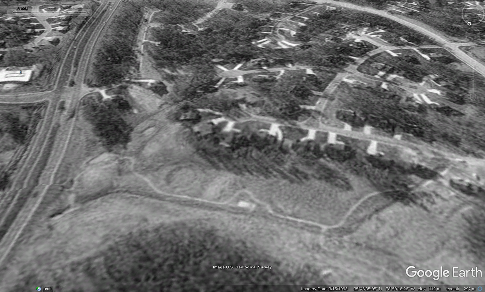 1993 1993 |
 1998 1998 |
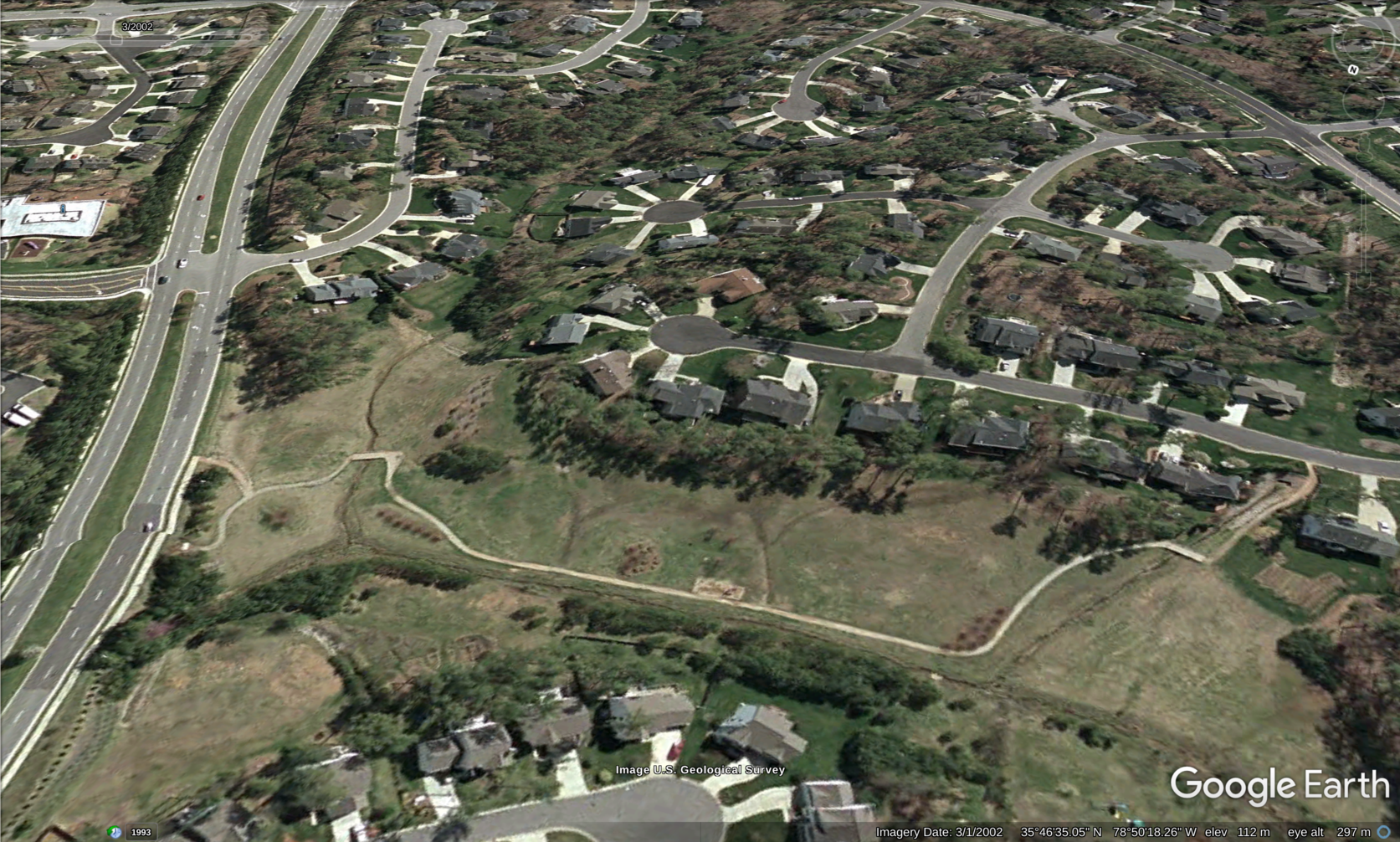 2002 2002 |
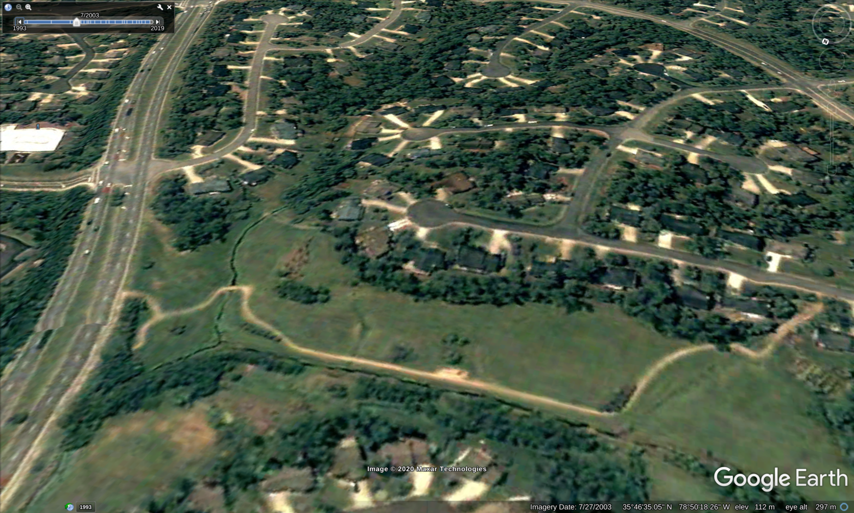 2003 2003 |
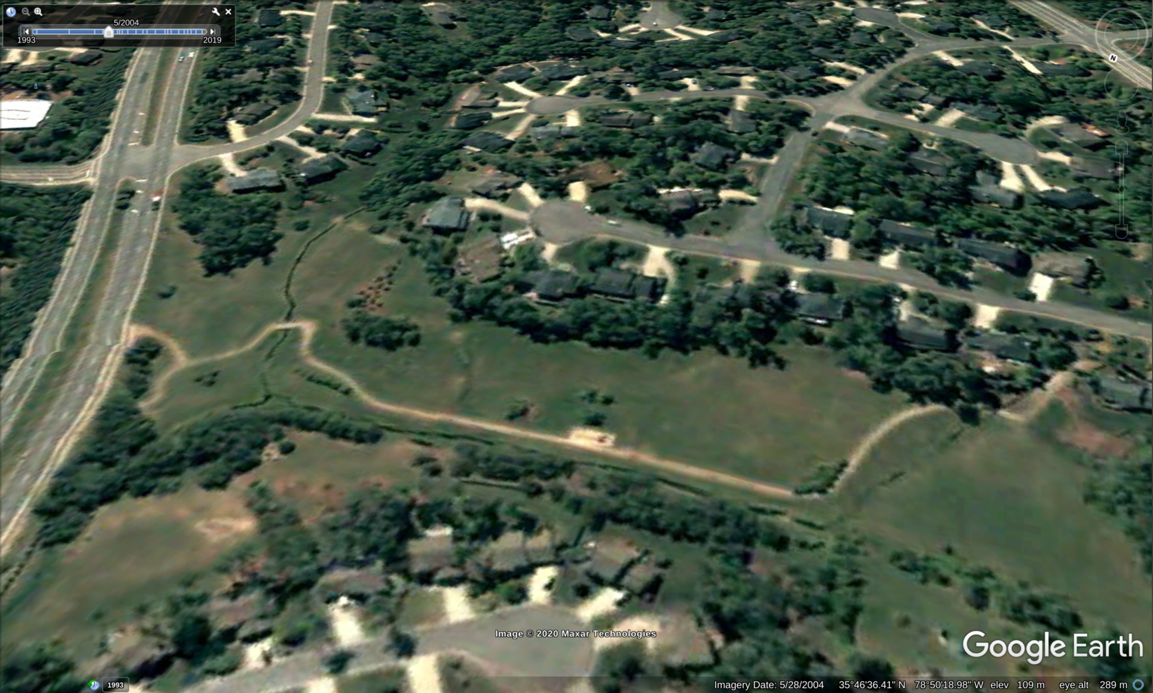 2004 2004 |
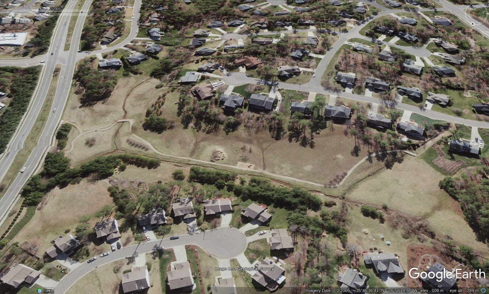 2005 2005 |
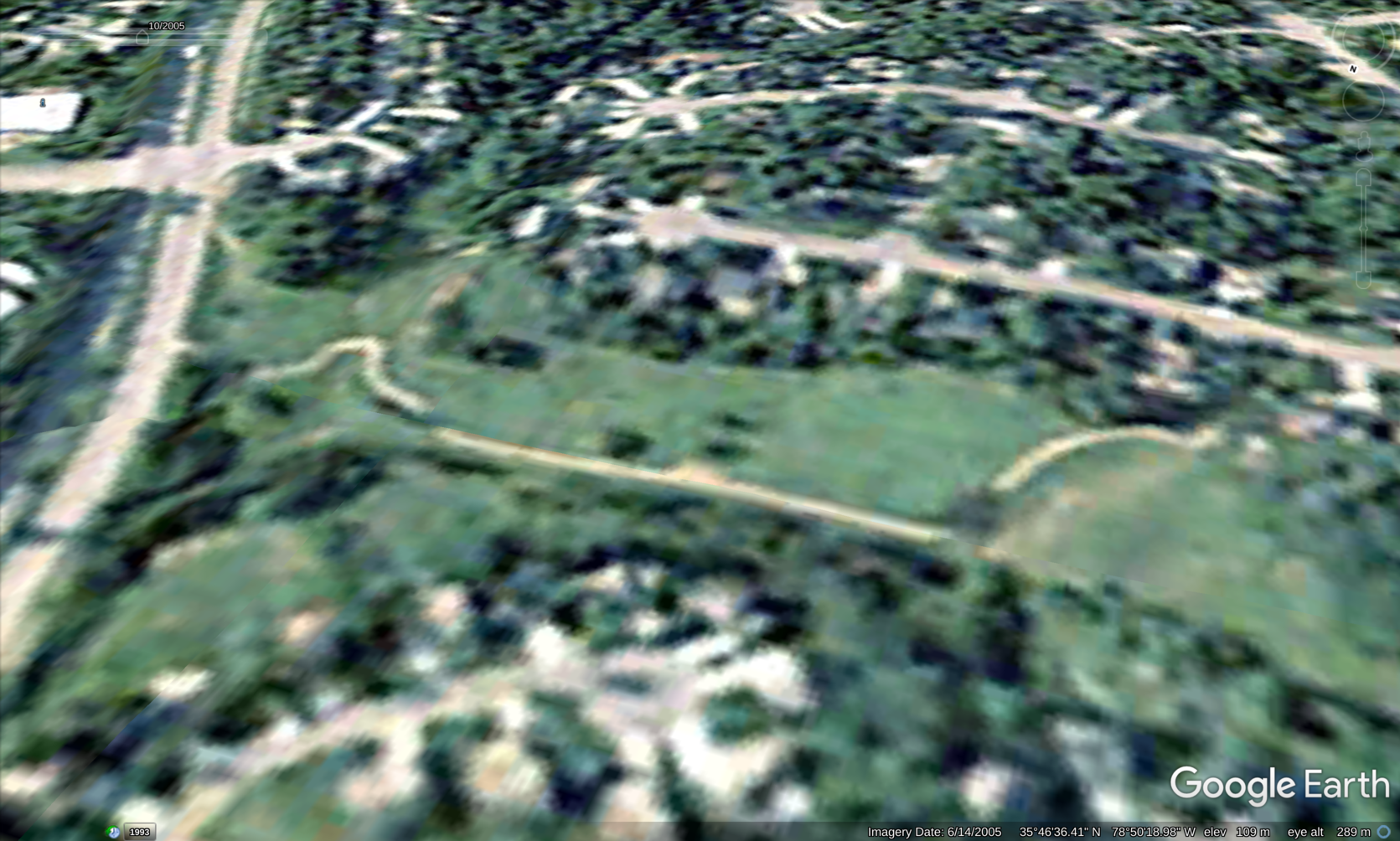 2005 2005 |
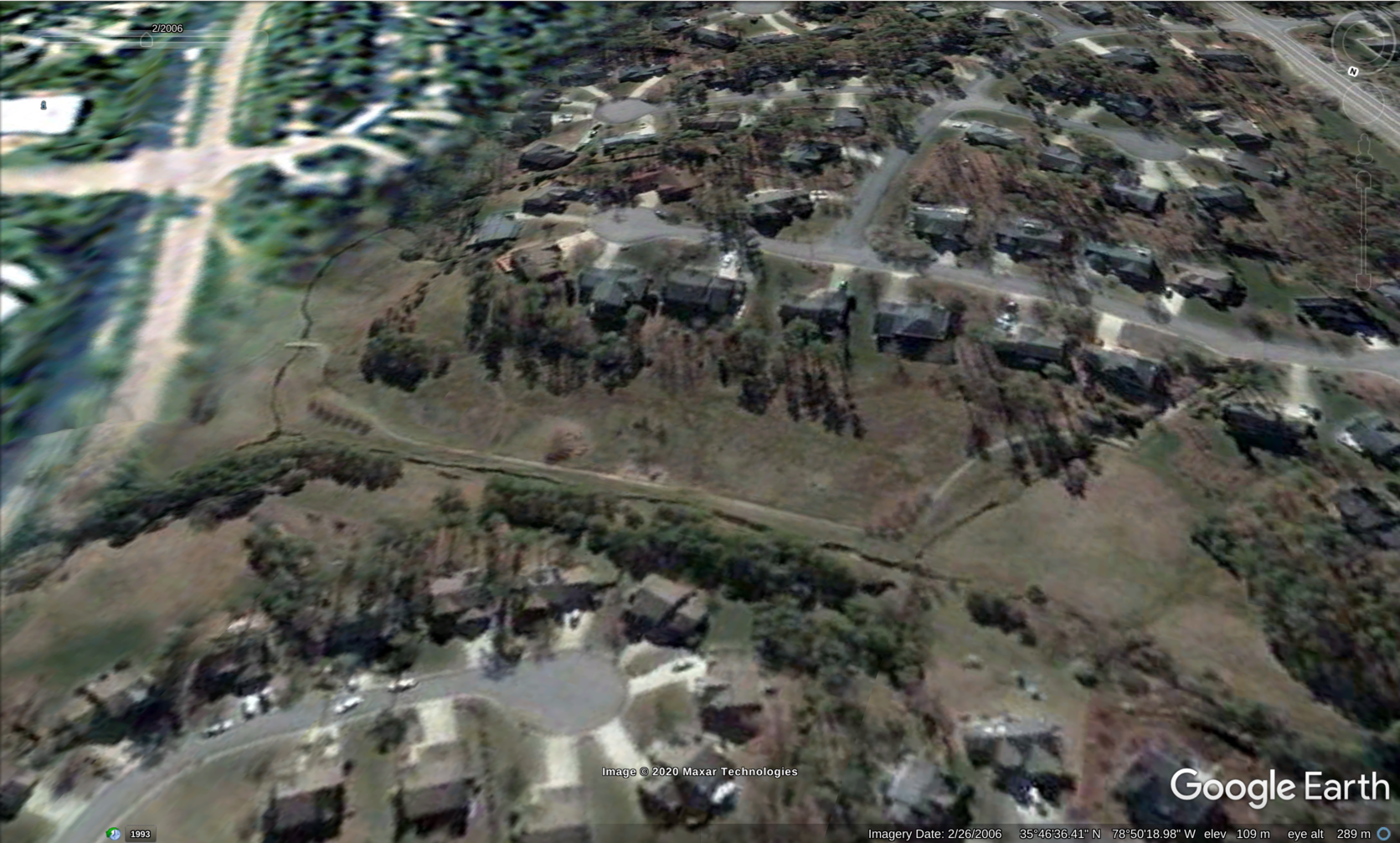 2006 2006 |
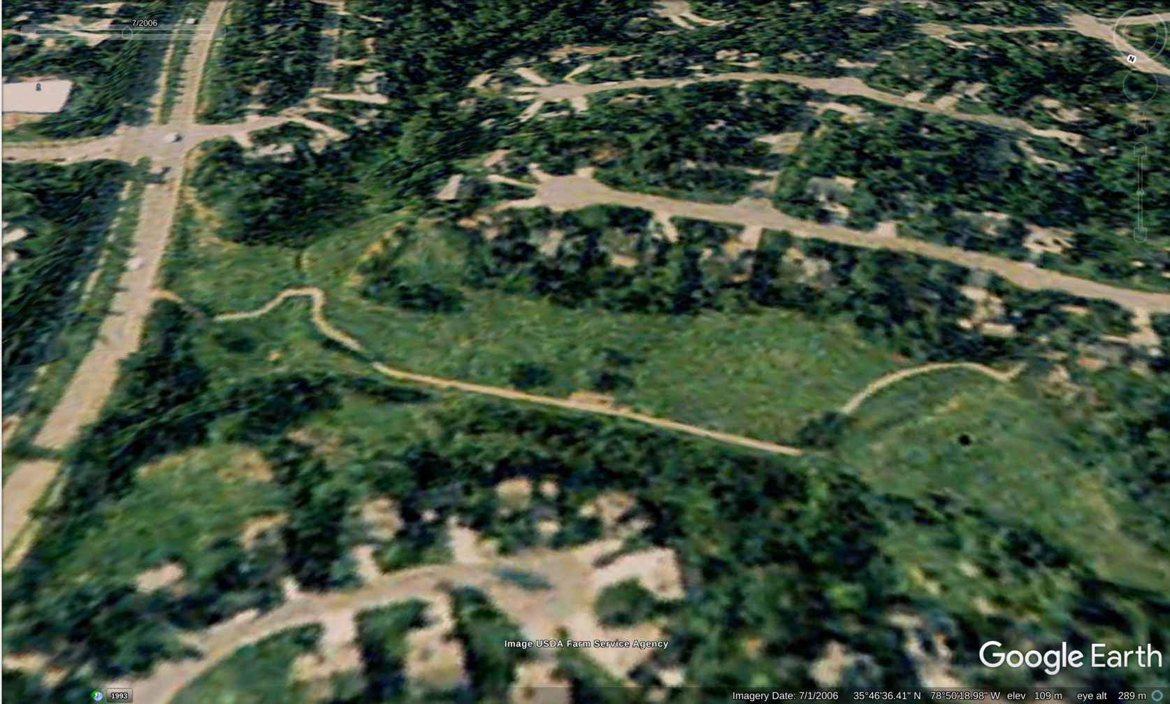 2006 2006 |
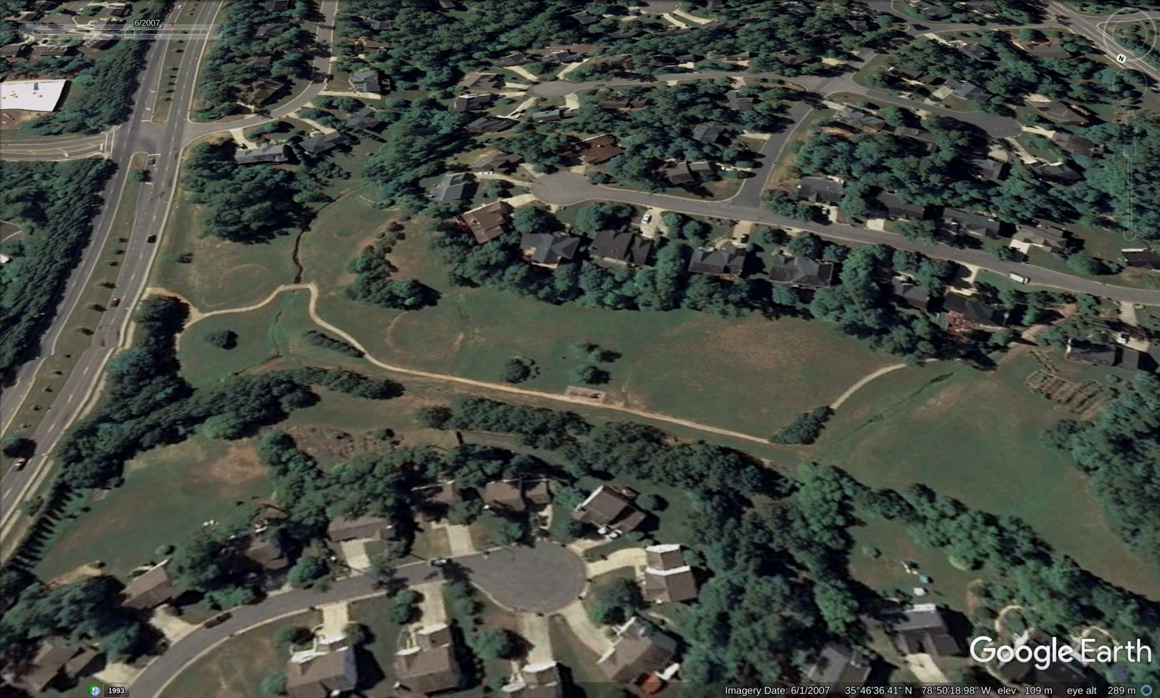 2007 2007 |
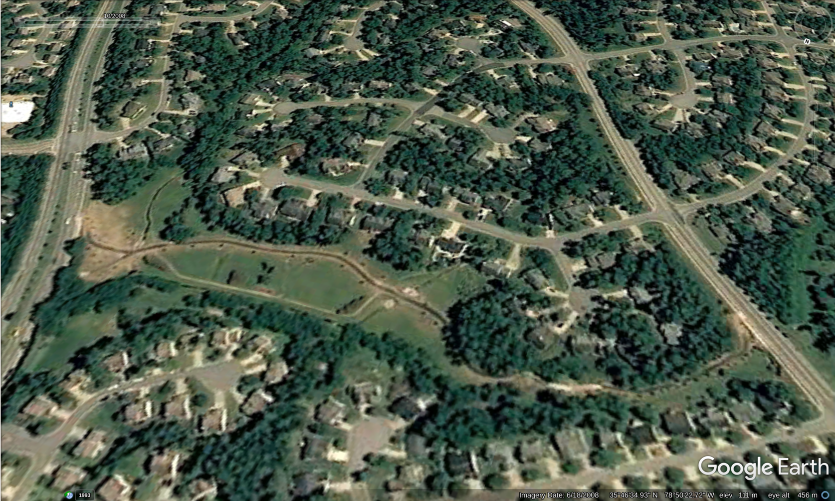 2008 2008 |
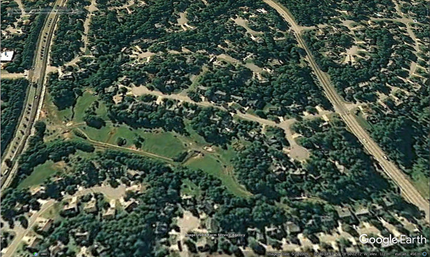 2009 2009 |
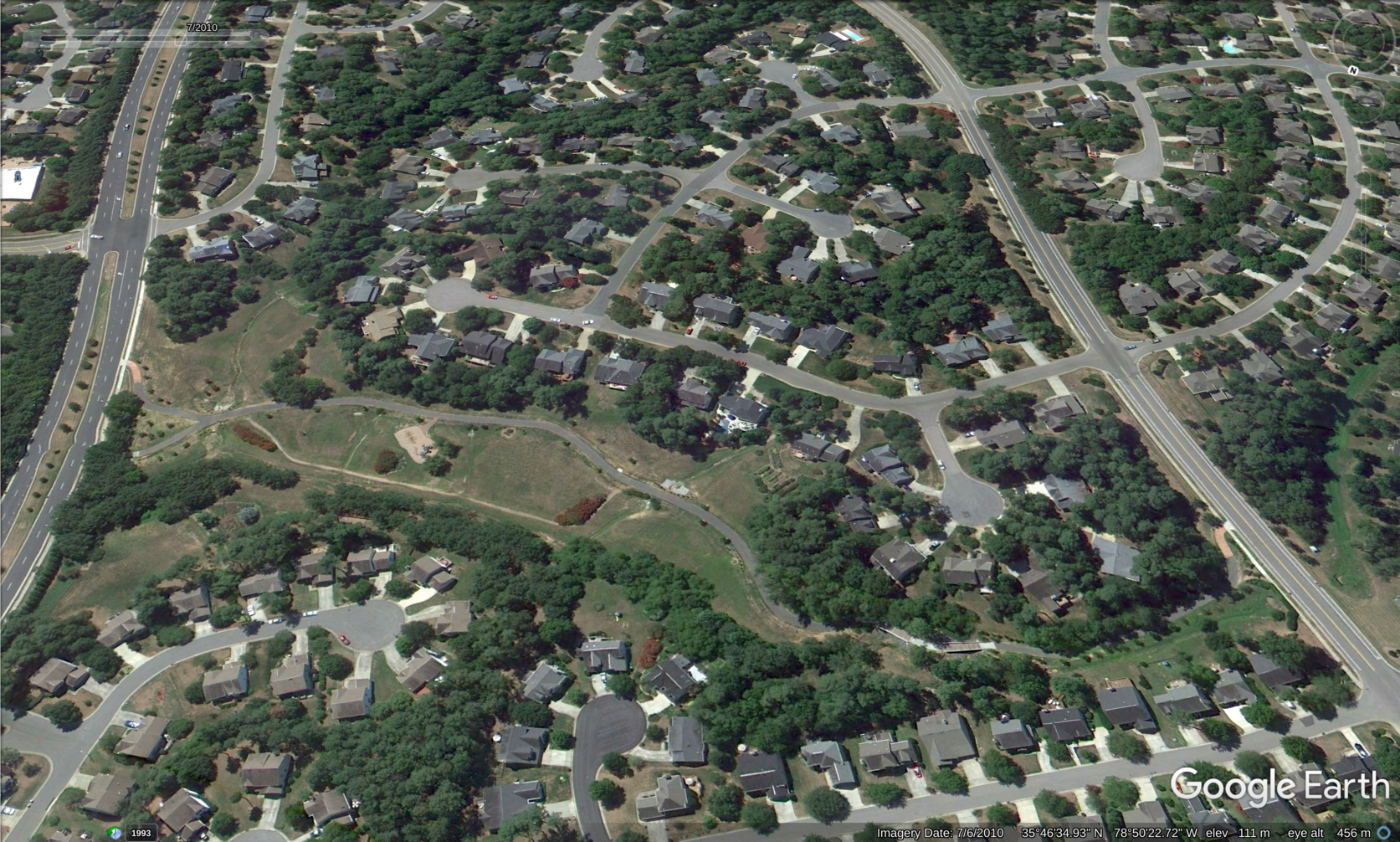 2010 2010 |
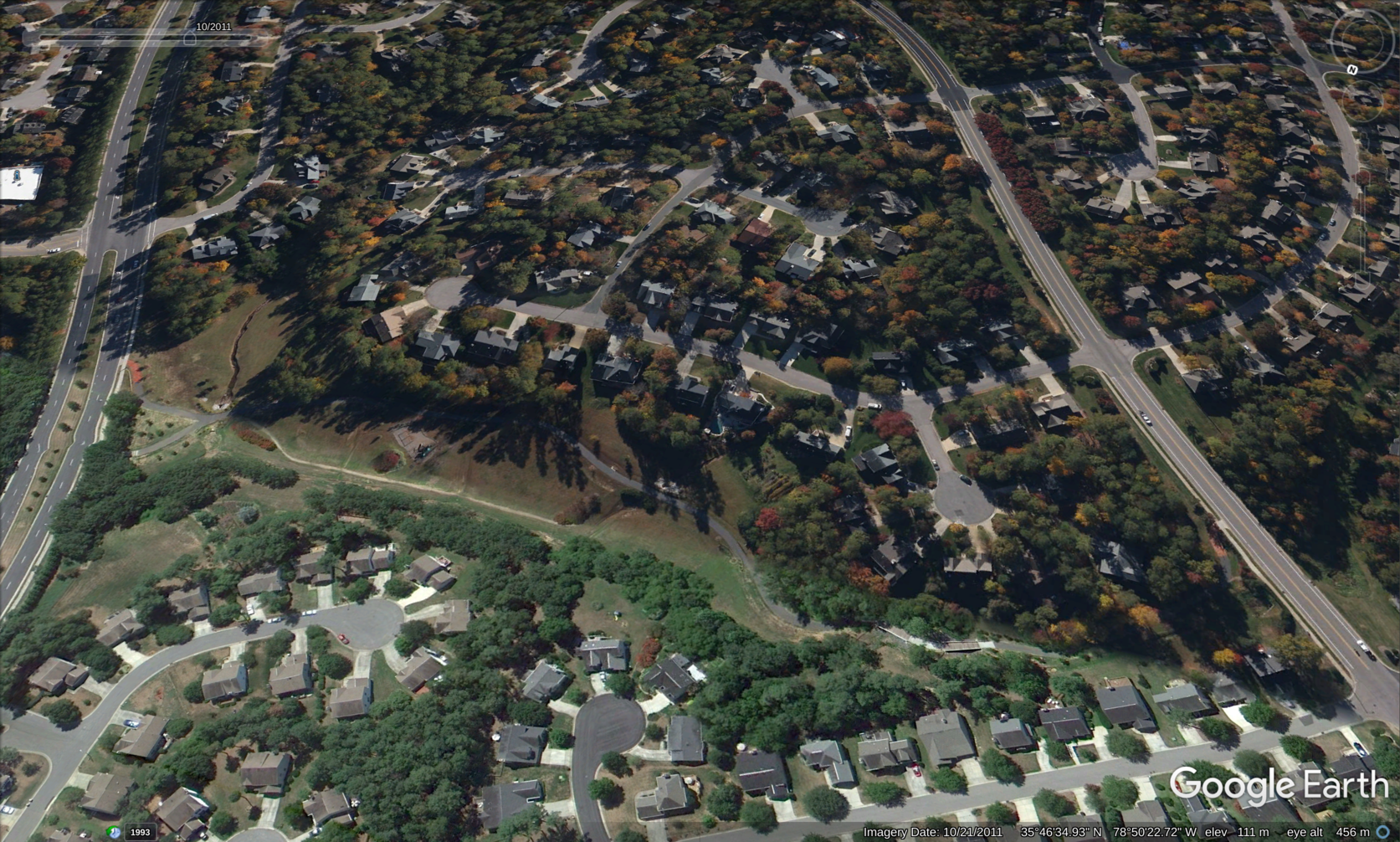 2011 2011 |
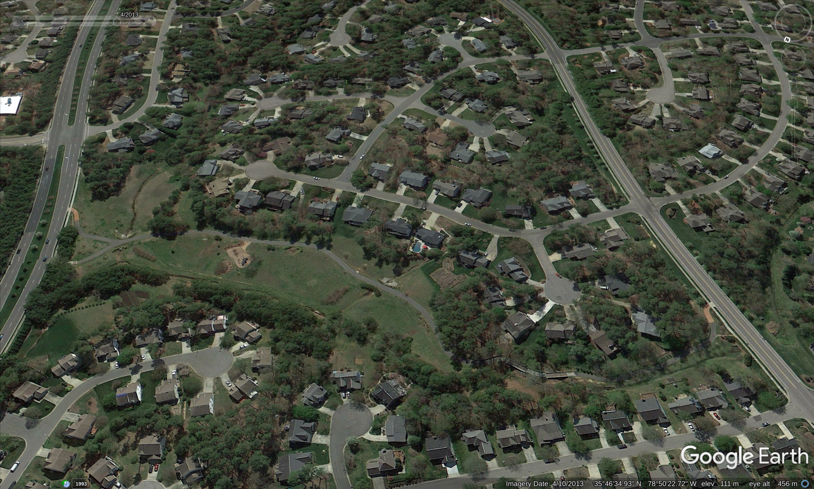 2013 2013 |
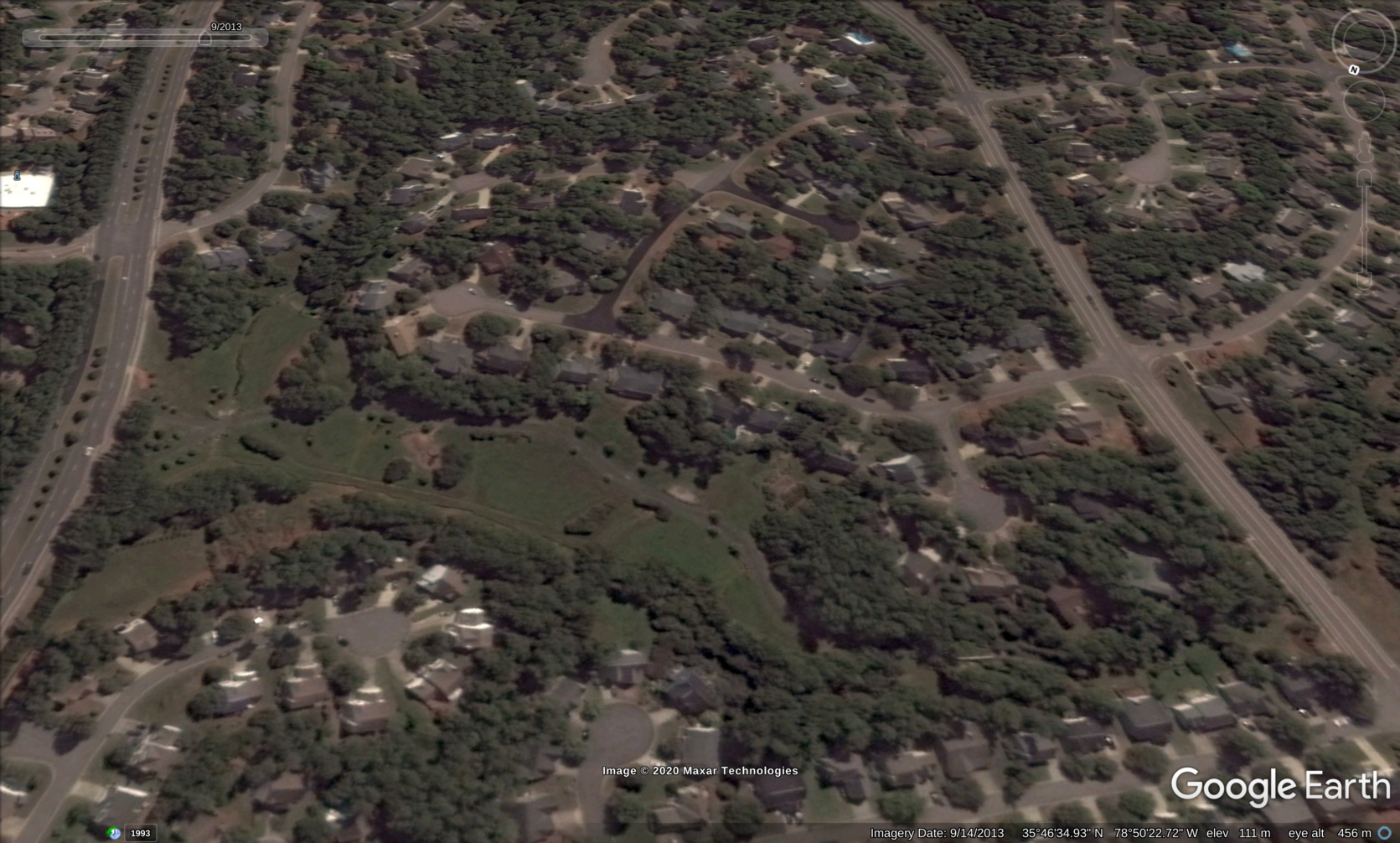 2013 2013 |
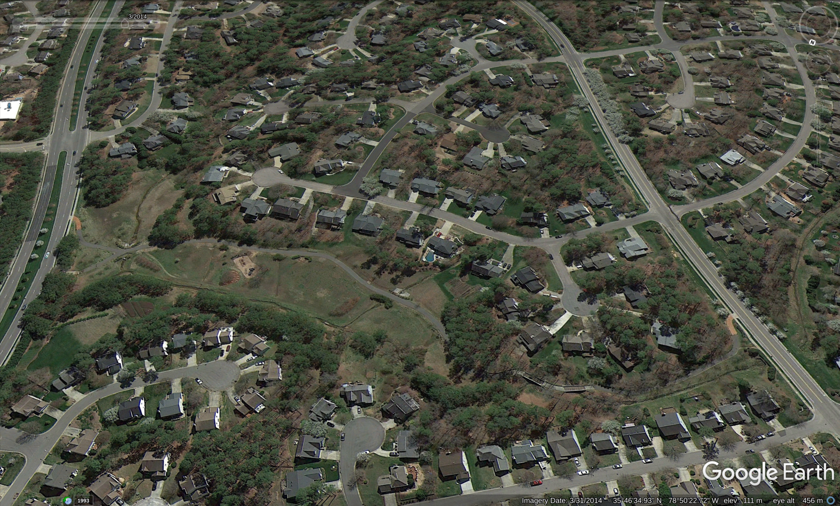 2014 2014 |
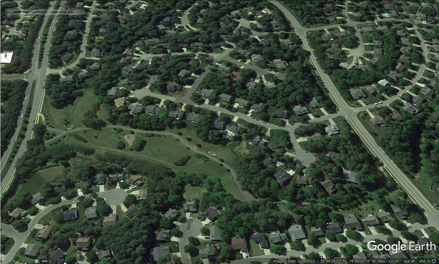 2015 2015 |
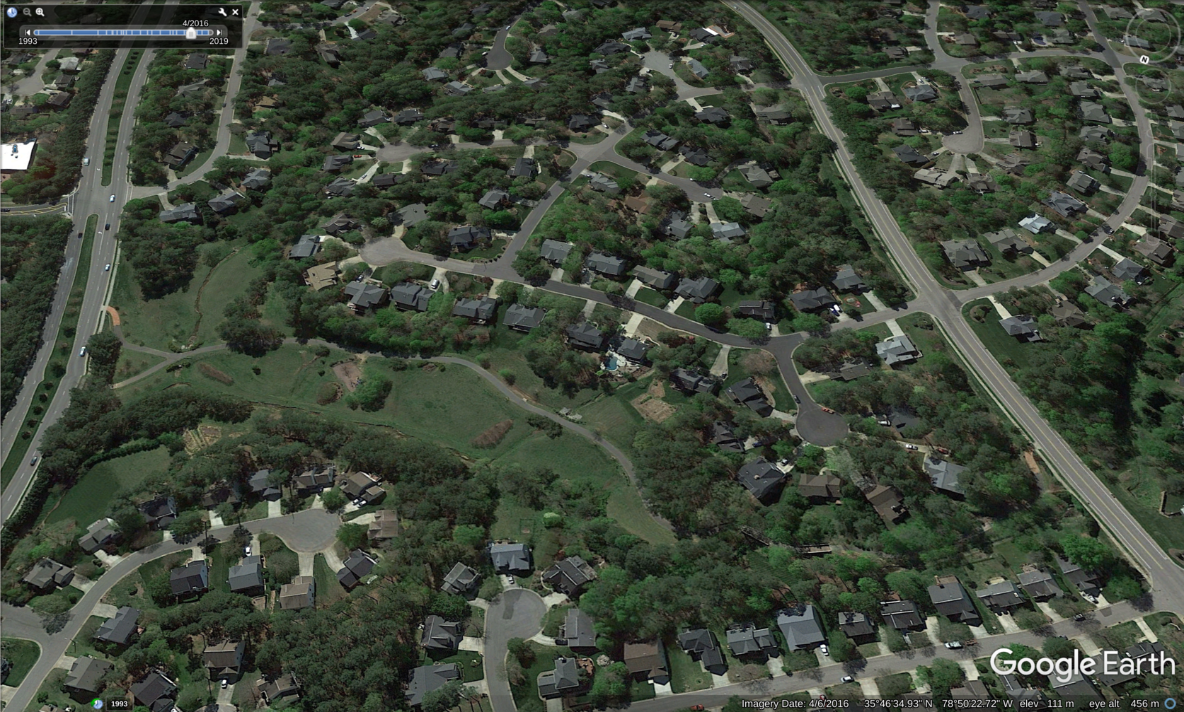 2016 2016 |
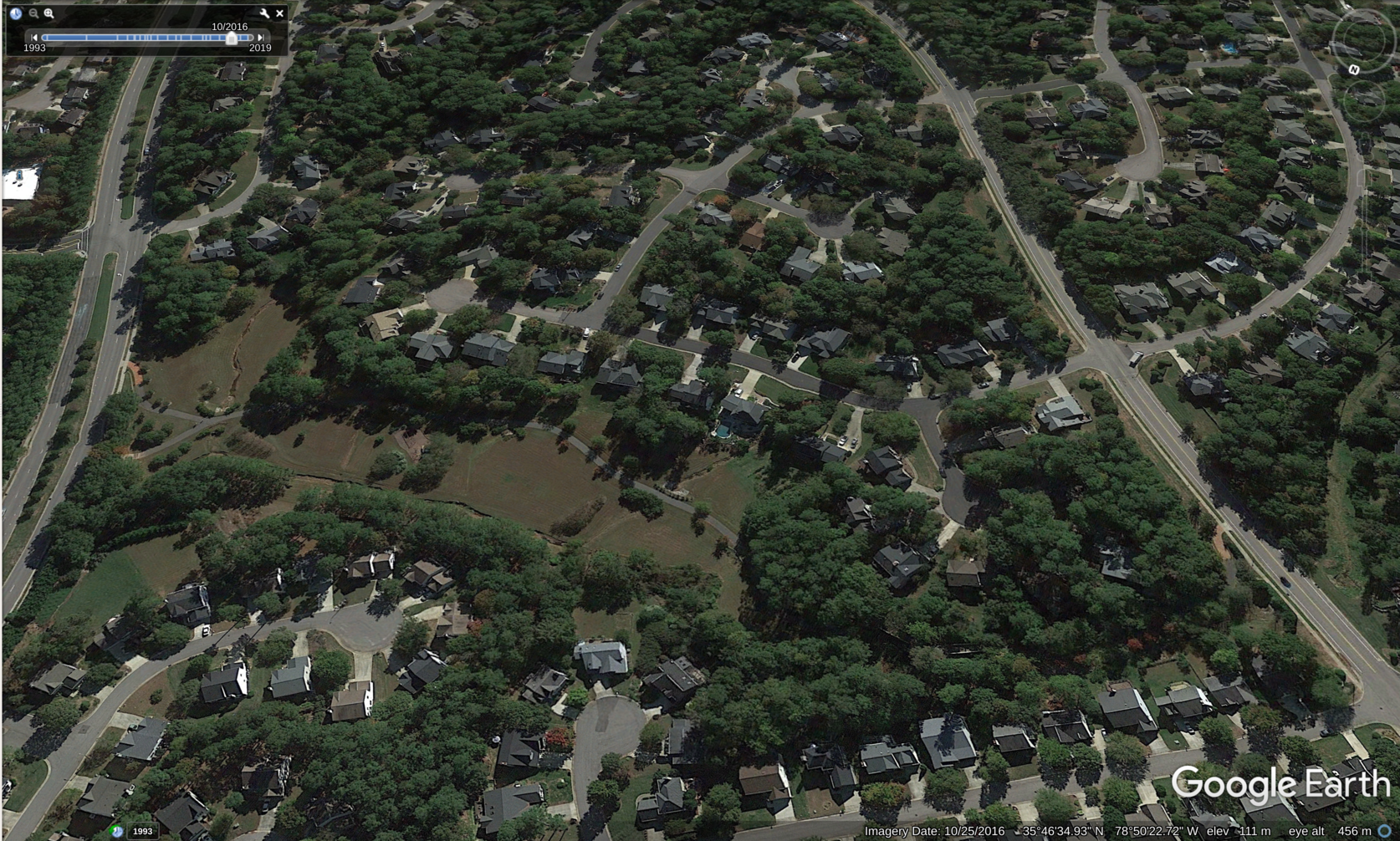 2016 2016 |
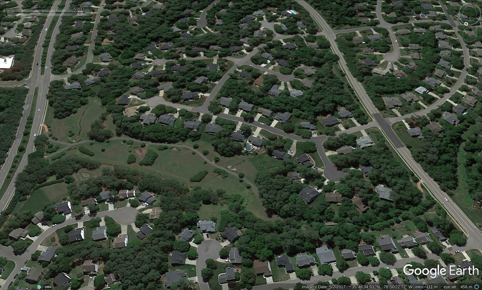 2017 2017 |
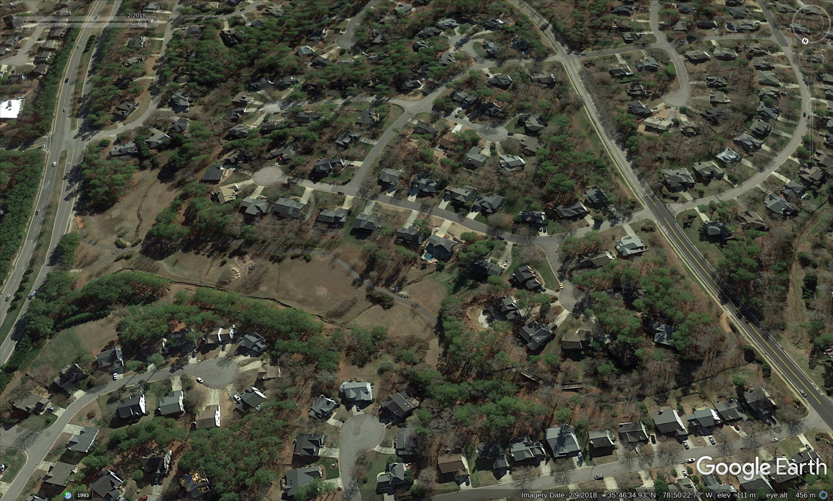 2018 2018 |
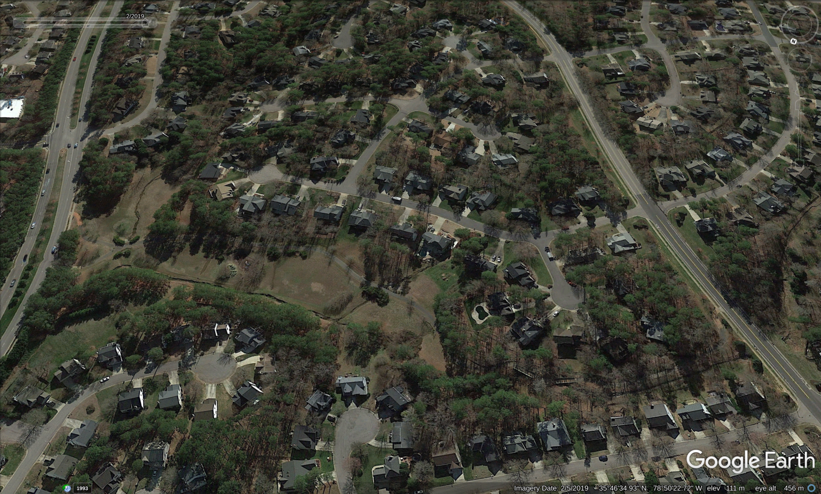 2019 2019 |